
Hiking in Upper Carinthia
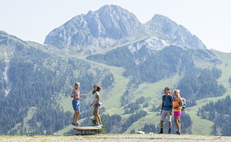
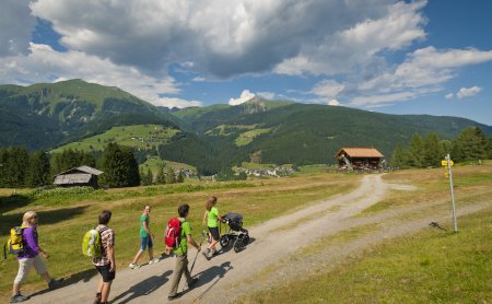
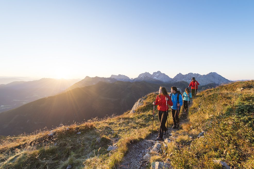
The Gitschtal offers trails for various difficulty levels and is also suitable for Nordic walking.

Get on your bike and into the fun
Mountain Biking & Cycling
Discover the many opportunities for cycling and mountain biking! Around the Gitschtal, there are circular bike routes suitable for every level of difficulty.
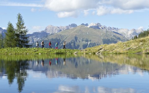
Around the Hotel
Our Hiking Recommendations
Here you’ll find information on hiking routes around our hotel.
Slow Trail Weissensee
The unique Slow Trail Weissensee follows the west shore (Neusach – Ronacherfels) to the east shore, running almost entirely along the natural lakeside. Over 8.8 km, the lakeside path leads past idyllic bays and quiet spots, framed by the backdrop of the Gailtal Alps. The crystal-clear water reflects every shade from turquoise to dark green. You can take a refreshing dip at numerous points. The return journey can be comfortably made by boat, for example, on the “Alpenperle,” Austria’s first electric hybrid boat, which glides silently and vibration-free across the lake.
Duration: approx. 2 hours
Length: 8.6 km
Elevation gain: 100 m
Starting point: Neusach car park
Alpine Pastures
From the turnaround loop, a steeper hiking trail leads directly up to the alpine pasture. Along the way, you can repeatedly enjoy the magnificent view of Lake Weissensee. For families with children, the forest path is recommended. At the Neusach village sign (coming from Techendorf), take a left uphill. Via a beautiful panoramic trail, you’ll reach the rustic Hinterm Brunn alpine pasture in about 1 hour.
- Duration: 1 hour
- Length: 2.2 km
- Elevation gain: 350 m
- Starting point: Neusach at Lake Weissensee
At Egger Alm you’ll find a mountain village straight out of a picture book. It is one of Austria’s most traditional alpine pastures. The rustic wooden houses, the idyllic Egger Alm lake and the famous Gailtal alpine cheese make this charming village a worthwhile destination.
Particularly popular is the two-hour circular hike from Egger Alm to Dellacher Alm and onwards to the high-altitude Poludnig Alm. From the summit cross of Poludnig, you’ll be rewarded with spectacular views of the Hohe Tauern, the Julian and Carnic Alps and the Venediger Group.
At 1,399 m, the alpine lake sparkles in the sun, inviting explorers of all ages to discover alpine flowers and herbs on a stroll. The one-hour walk around Egger Alm lake is easy and suitable for young and old alike.
- Duration: 2 hours 15 minutes
- Length: 12.3 km
- Elevation gain: 755 m
- Starting point: Garnitzenklamm near Möderndorf
A forest path (Trail No. 6) leads you directly from the Berggeisthütte, past the Almfrühstück, to Möselalm. At Möselalm, Bernhard Flaschberger and his team await you, always ensuring great entertainment. For those eager to keep walking, the forest path continues to the well-known tree of the Gitschtal — the Kandelaber spruce. Take a break here to learn more about this 500-year-old giant. Along the way, you’ll even find one of the Gitschtal Gold seating stones.
- Duration: 2 hours
- Length: 4.4 km
- Elevation gain: 380 m
- Starting point: Hotel Löffele or ski lift in Weißbriach
The Naggler Alm (1,320 m) above Lake Weissensee in Carinthia is a meeting place for sustainable and exquisite cuisine. The beauty of this special spot reveals itself anew every day. The hut team takes care of guests with a special dose of warmth and dedication to regional and sustainable culinary delights.
After disembarking, head east through the forest, following the signposts to “Naggler Alm,” and descend slightly to a fork in the path. From there, continue straight ahead, following the signs and gently ascend to Naggler Alm (1,324 m), which lies just to the right of the wide hiking trail.
- Duration: 1.5 hours
- Length: 4.6 km
- Elevation gain: 370 m
- Starting point: Techendorf Bergbahnen
Cross the main road in front of Hotel Löffele and follow the village street to the former Egger guesthouse. There, turn right and continue for about 100 metres until the Gailtal High Trail No. 229 (currently closed due to forestry work) begins on the left. The hiking route ascends through the forest as a narrow path. You’ll cross forest tracks several times, which wind uphill in switchbacks. Eventually, you’ll reach Napalalm and then continue along the forest edge over alpine meadows, climbing up to the Weißbriacher Hut (self-catering hut) at 1,567 m.
To reach Kumitsch, follow a steep hiking trail uphill (partly secured with steel cables and requiring sure-footedness), passing the well-known Gudrunsfels. Enjoy the view from Kumitsch. On the return, you can take forest trail No. 6 from the Weißbriacher Hut, which passes by the staffed Möselalm.
- Duration: approx. 2.5 hours
- Length: 10.1 km
- Elevation gain: 900 m
- Starting point: Hotel Löffele
Gorges and Ravins
The Garnitzenklamm is a natural wonder in the Gail Valley of Carinthia. Not far from Hermagor, near Möderndorf, the Garnitzenbach river has carved a 4.5-kilometre-long gorge into the rock of the Carnic Alps over time, creating a breathtaking natural gem. Roaring waterfalls, steep towering rock faces, emerald-green bays, colourful rock formations, spectacular climbing paths, rare protected plants and whirlpools shaped over millions of years make this gorge one of the most beautiful in the Alps.
- Duration: 4–5 hours
- Length: 10.6 km
- Elevation gain: 854 m
- Starting point: Garnitzenklamm
Cross the main road in front of Hotel Löffele and follow the village street alongside the stream until you reach a forest track. Along the Gössering, you’ll pass the Memmer family memorial chapel. Continue on to the ruins of the old wood pulp and paper factory, later used as a power station until 1955. After that, you’ll arrive at the Holzknecht Hut (not staffed) situated in the middle of the ruin settlement. About 150 metres further, on the left, is the ruin of the “Großer Hammer.”
From here, there are two options to reach Waisacheralm (staffed):
Option 1: Take the “Tuffweg” — via trail 10a to the Plattenweg (9), then onwards to Waisacheralm.
Option 2: Follow the forest track via Pfarreben or the forest road 238 to Waisacheralm.
- Duration: approx. 1 hour
- Length: 6.7 km
- Elevation gain: 741 m
- Starting point: Hotel Löffele
Follow the signs from the village fountain/bus stop in Jadersdorf to the Weißenbachklamm, where parking is available. The tour also starts here. At the information board, you’ll find the entrance to the Kalk-Tuff Gorge. Secured ladders and walkways make progress easier within the gorge.
For the return, there are two options:
Option 1: Take path 19 to the left over the Geppe back to Jadersdorf (Sonnenhof Jury).
Option 2: Alternatively, take path 19a to the right over the Madatsche back to Jadersdorf (parking lot – starting point).
Due to a 10-metre-high ladder, this route is not recommended for children under 10 years old. The path is used at your own risk. Sturdy footwear is recommended!
- Duration: 2.5 hours
- Length: 5.8 km
- Elevation gain: 290 m
- Starting point: Jadersdorf
Huts & Mountain Stations
The Berggeist Hut is located directly on the "Max Franz" ski slope in the heart of the Weißbriach ski area. It is open during the winter season – from December to March – and regularly hosts varied evenings with cosy hut charm and fun celebrations.
The starting point for the winter hike is the Hammerbodenlift car park at the Weißbriach cable cars. Just below the valley station of the Hammerbodenlift, the forest path to the Berggeist Hut begins. The marked trail starts off fairly flat but later includes some steeper sections. In snowy and icy conditions, wearing shoe spikes is recommended to ensure a safe ascent.
- Duration: 45 minutes
- Length: 2.5 km
- Elevation gain: 276 m
- Starting point: Hotel Löffele
The Compton Hut is situated at 1,585 metres above sea level, nestled in a bright larch forest at the foot of the majestic north face of the Reißkofel in the Gailtal Alps. It opened in 1928 and has remained almost unchanged in appearance, making it especially quaint and cosy. Its originality makes it a true gem among Alpine club huts!
- Duration: 3 hours 30 minutes
- Length: 4.0 km
- Elevation gain: 650 m
- Starting point: Hotel Löffele
We reach the mountain station comfortably via the Weissensee cable car according to the tariff. From there, our hike begins on trail 16 eastwards to the “Naggler Alm”. Passing the Drachsel wayside shrine, the path leads through a shady forest and over the rocky “Gaisrücken” to the “Jadersdorfer Ochsenalm” and the “Kohlrösl Hut”. From the hut, the route ascends to the Großboden meadow and the Sattelköpfe peaks. The summit ascent then begins. The summit of Golz is a meadow offering a magnificent panoramic view. The same path leads back to the mountain station. Alternatively, you can hike down from the mountain station to the valley either via a gravel track or directly along the piste.
- Duration: 4 hours 30 minutes
- Length: 7.76 km
- Elevation gain: 1,075 m
- Starting point: Weissensee mountain station (chairlift)
The easiest way to reach the Naggler Alm and the Kohlrösl Hut is by taking the Weissensee cable car (4-seater chairlift). From the lift station, a beautiful wide forest track leads you directly to the managed Naggler Alm within a few minutes’ walk. From the Naggler Alm, you can take the direct path across the mountain meadows or the circular hiking trail. Then follow the Gailtal Höhenweg 229 via the Geißrücken or the forest track. Once you arrive at the Jadersdorfer Ochsenalm (managed), you are almost at your destination — the Kohlrösl Hut (managed). Enjoy the breathtaking view over the Gitschtal valley.
- Duration: 1 hour 30 minutes
- Length: 4.0 km
- Elevation gain: 287 m
- Starting point: Techendorf cable cars
From Jadersdorf, follow a forest track to the Kohlrösl Hut, where you can enjoy a stunning view of the Gitschtal and Gailtal valleys – Route No. 12.
- Duration: 2 hours 30 minutes
- Distance: 8.1 km
- Elevation gain: 872 m
- Starting point: Jadersdorf
